T.S. Marco Weakens While Laura Moves Across The Gulf
T.S. Marco Weakens While Laura Moves Across The Gulf
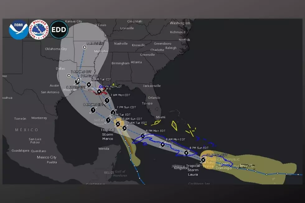
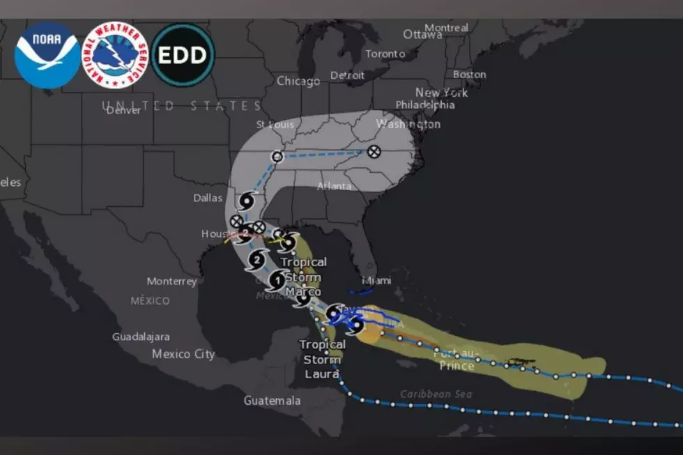
We have had an active few days concerning the peak of the hurricane season that will last until the end of September. We are currently monitoring Tropical Storms Marco and Laura. These storms have set up an unusual scenario that doesn’t happen too often, where they are back-to-back storms.

Here are the headlines that you should know about Marco and Laura:
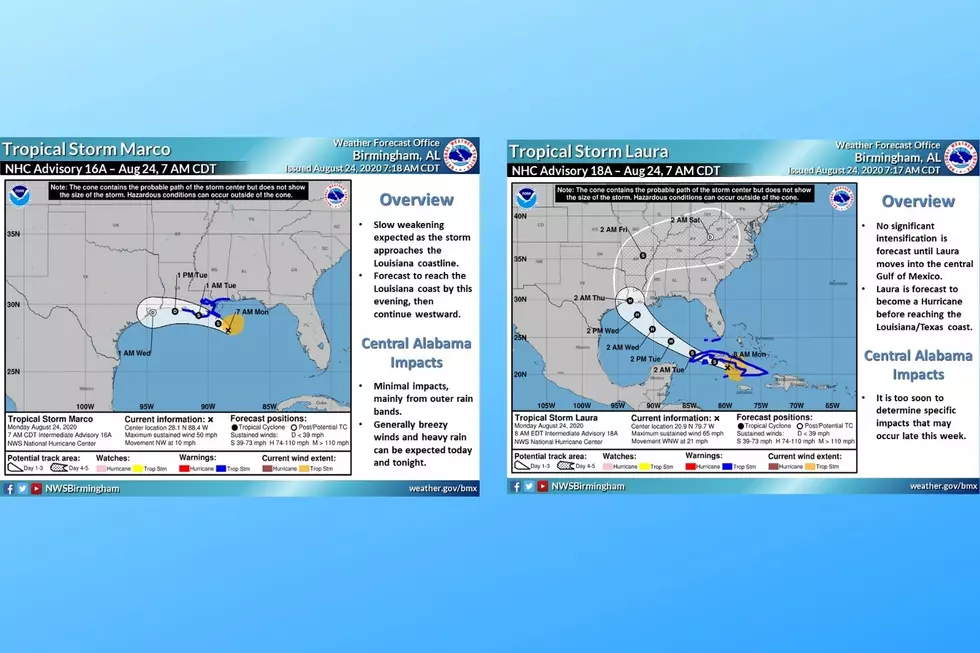
- Tropical Storm Marco has weakened and expected to have a west-northeast turn this evening.
- Marco should move inland this evening to southeastern Louisiana and across Louisiana on Tuesday.
- Marco's possible impacts on Alabama should be limited to southern Alabama with the potential for tornadoes.
- Laura should develop into a hurricane soon. As being the Gulf of Mexico could intensify the strength of the system.
The National Weather Service noted the following information:
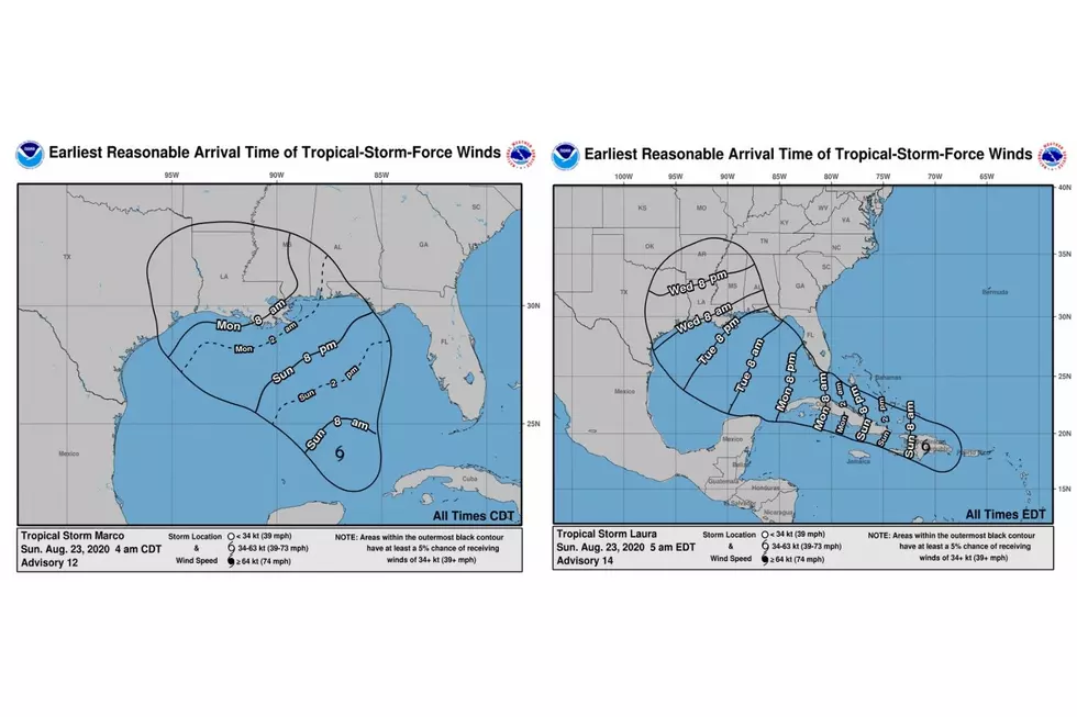
- “Gusty winds, heavy rainfall, and lingering coastal flooding are expected from Marco along portions of the Gulf Coast through this evening.”
- Tropical Storm Laura could bring dangerous storm surge, rainfall, and wind impacts to portions of the U.S. Gulf Coast by the middle of the week.
- Tropical cyclone wind and surge watches have been issued for portions of the U.S. Gulf Coast.
What are the possible impacts on central Alabama that Tropical Storm Laura could bring. According to the National Weather Service Facebook page, the alerted the public that the “confidence is low at this time, but outer bands from the remnants of Laura could affect west and northwest AL Thursday and Friday.”
(Source) For more information from the Facebook page of the National Weather Service Birmingham, click here. For more from the National Weather Service, click here.
Clouds: Artwork In The Sky
More From Catfish 100.1