Severe Weather Outlook For Monday
Severe Weather Outlook For Monday
Update:
There is Significant Weather Advisory for Eastern Walker and Western Jefferson Counties until 5 pm.
There is Significant Weather Advisory for Southeastern Tuscaloosa, West Central Shelby, Central Bibb, and South Central Jefferson until 4:15 pm.
Previous Post:
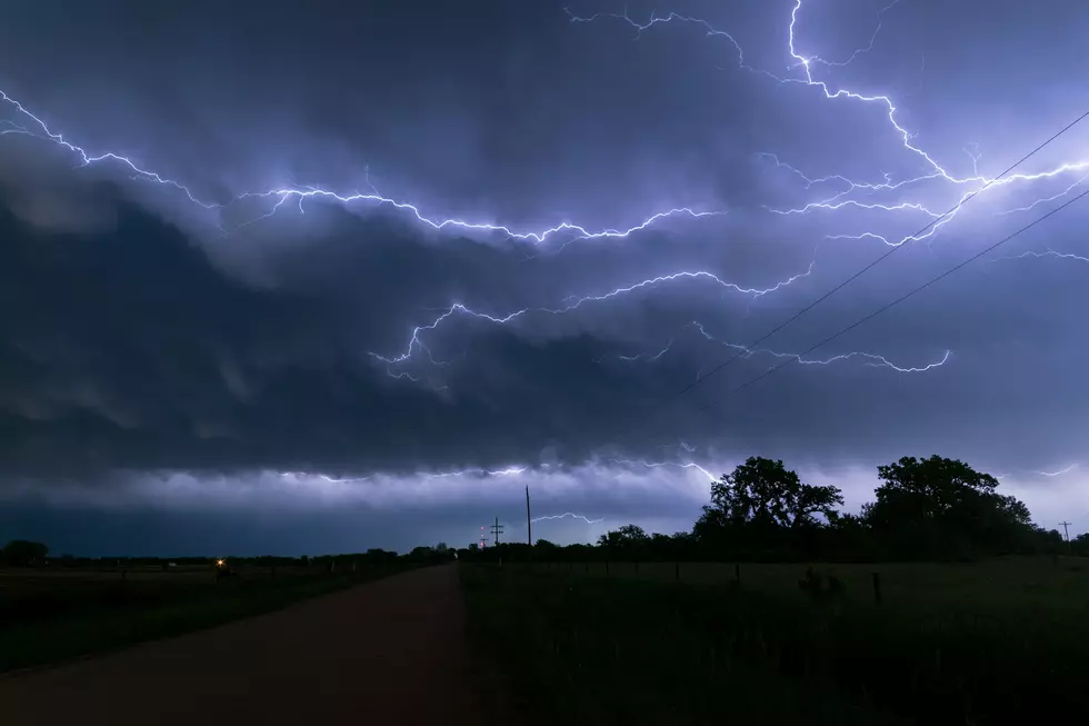
We are closely paying attention to our western counties in our listening areas for the potential for severe storms today. Our Marginal Risk Area could mean the possibility of a brief tornado possible and damaging winds up to 60 mph. The Facebook page for the National Weather Service Birmingham noted that “rain bands from Cristobal are spreading over much of the area. We're watching for the possibility of a few spin-up tornadoes, especially across the western half of the area through this afternoon.” The time frame for our listening areas is now until 7 pm. According to the National Weather Service Birmingham, the Hazardous Weather Outlook is now through tonight with the focus on areas west of Interstate 65. The outlook is in place for the following counties: “Marion-Lamar-Fayette-Winston-Walker-Blount-Etowah-Calhoun-Cherokee-Cleburne-Pickens-Tuscaloosa-Jefferson-Shelby-St. Clair-Talladega-Clay-Randolph-Sumter-Greene-Hale-Perry-Bibb-Chilton-Coosa-Tallapoosa-Chambers-Marengo-Dallas-Autauga-Lowndes-Elmore-Montgomery-Macon-Bullock-Lee-Russell-Pike-Barbour.”
Wind Advisory until 7 pm
Also, we have a Wind Advisory until 7 pm for the following counties: Bibb, Dallas, Fayette, Greene, Hale, Lamar, Marengo, Marion, Perry, Pickens, Sumter, and Tuscaloosa.
Potential For More Severe Weather Wednesday
Also, I would like to give you a heads up for the potential for Severe Weather on Wednesday, June 10, 2020, with the timing between Noon and 5 pm. The risk level at the time of this blog is marginal, but we will continue to monitor for any changes.
(Source) To follow the National Weather Service Birmingham Facebook Page, click here. For more on the Hazardous Weather Outlook from the NWS, click here.

More From Catfish 100.1